Syntool Arctic
The web tool works with satellite data
The Satellite
Oceanography Laboratory
Oceanography Laboratory
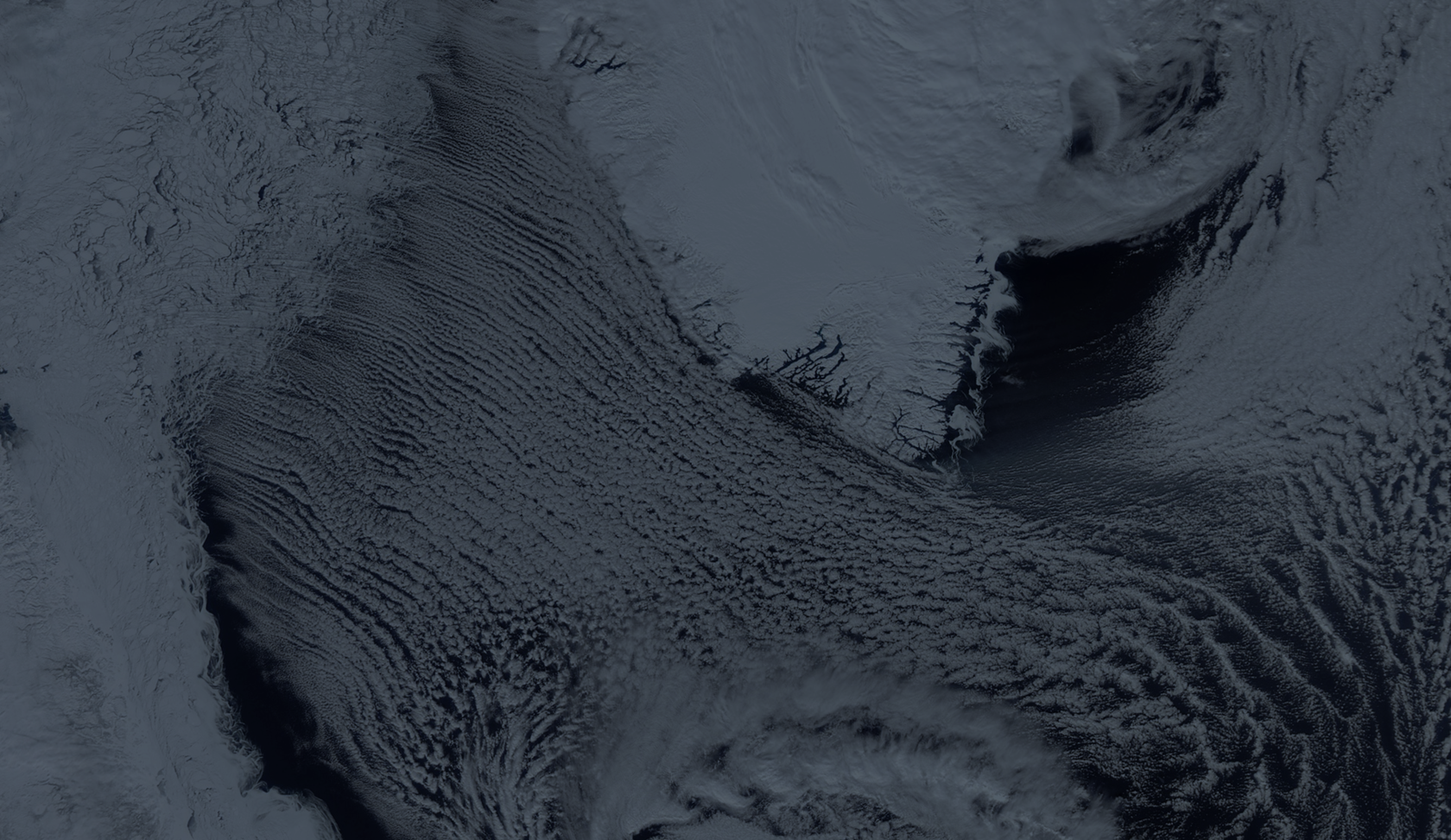
The Satellite Oceanography Laboratory leads research in the development of new methods and technologies for processing and analyzing various satellite data types.

Task
The core task was to help the team of developers and scientists create a tool for work with satellite data. First at all study the data that the laboratory collects and processes, identify key user's needs come up during working with this data and then develop the solution for the interface.
~
Working process
My first steps were the organization the interviews and several workshops with developers and scientists. The purpose of the workshops was to find out basic users needs, then build a primary user's scenario and identify key tools.
~
The solution
The user's path has built based on two steps: the first step is selecting the type of the satellite data, the second step is choosing the date on the timeline, then the system draws the map based on this settings.
The screen divided into three main blocks. The first block builds on the list of the products with an ability to edit the display on the map using transparency. Timeline, as the second block, helps to manage time and put products relative to each other.
The map displays all these settings as a picture. Timeline and the list of the products can be hidden for better observation of the map.

Edit
All products list reveals a map opportunity, and ability to edit each of it, called a layer, via opacity and the order changing. Being hidden under a title, the information about time measurement and product description allows to avoid overflow and define priorities for users.

Hotpost
With Hotpost a user can get the prepared and tuned maps, mostly based on the past time periods.
With Hotpost a user can get the prepared and tuned maps, mostly based on the past time periods.

Timeline
After a product is selected it displayed on the map as an image, and on the timeline as dots depending on the time.

–
The most important thing was to create a flexible time system that allows to work with
the periods and choose the right date for determination of best intersection between
two or more products.
the periods and choose the right date for determination of best intersection between
two or more products.

Branding
One of the key reason for product redesign was a desire to bring the life into missing identity, which could perfectly complement the new UI. It was easy to define how three primary satellite data should come into one sign.
water
snow
ice
Logo
Colors
Typography
Old works
ABBYY
A cross-platform social networking service with free access to dictionaries.
A cross-platform social networking service with free access to dictionaries.
Museum of Russian Railways
The interactive kiosks and stores about old trains.
The interactive kiosks and stores about old trains.
Syntool Arctic
A web tool created by The Satellite Oceanography Laboratories for working with satellite data of Arctic region.
A web tool created by The Satellite Oceanography Laboratories for working with satellite data of Arctic region.